
Gathering Geographical Information
- Locate and describe the Tuggerah Lakes Estuary and Saltwater Creek using a range of sources, such as maps and images.
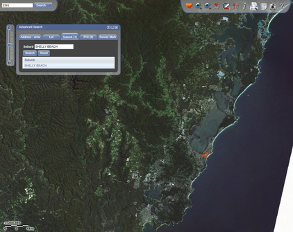
Use SIX Maps to locate the case study area on a map. Screenshot and save your findings.
|

Use Google Images or other sources to locate pictures of the case study area. Save your findings and be sure to note the author of the images.
|
- Explore and define what an estuary is using a range of sources, including text and video. Here are 3 links to get you started. Use the thinking routine +1 to record the key ideas.

Visit Love Our Living Lakes to read information about Tuggerah Lakes estuaries.
|
|
|
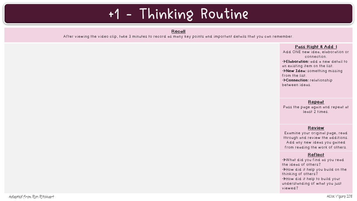
Click for an image of this thinking routine. Save image and use a text box to record thinking.
- Use a range of tools to estimate the length of Saltwater Creek.
- How might the Darkinjung people have used this land?
- Study current photographs or images of Saltwater Creek (at various locations) and identify the main geographical features.
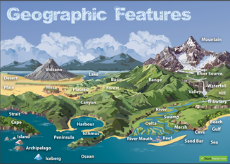
Here is an example of some geographical language.
|

Use Google Images or other sources to locate pictures of the case study area. Save your findings and be sure to note the author of the images.
|

Use Google Drawing to add annotations about the geographical features.
|
- Research how Saltwater Creek is maintained and managed, as well as who is responsible for looking after it. Record your findings and be sure to record the name and web address of the sources you use.
Visit the Central Coast Council website
|
Visit Love Our Living Lakes to read information about the estuary management plan.
|
- Create a T-chart outlining the positive and negative impacts of land use on Saltwater Creek.
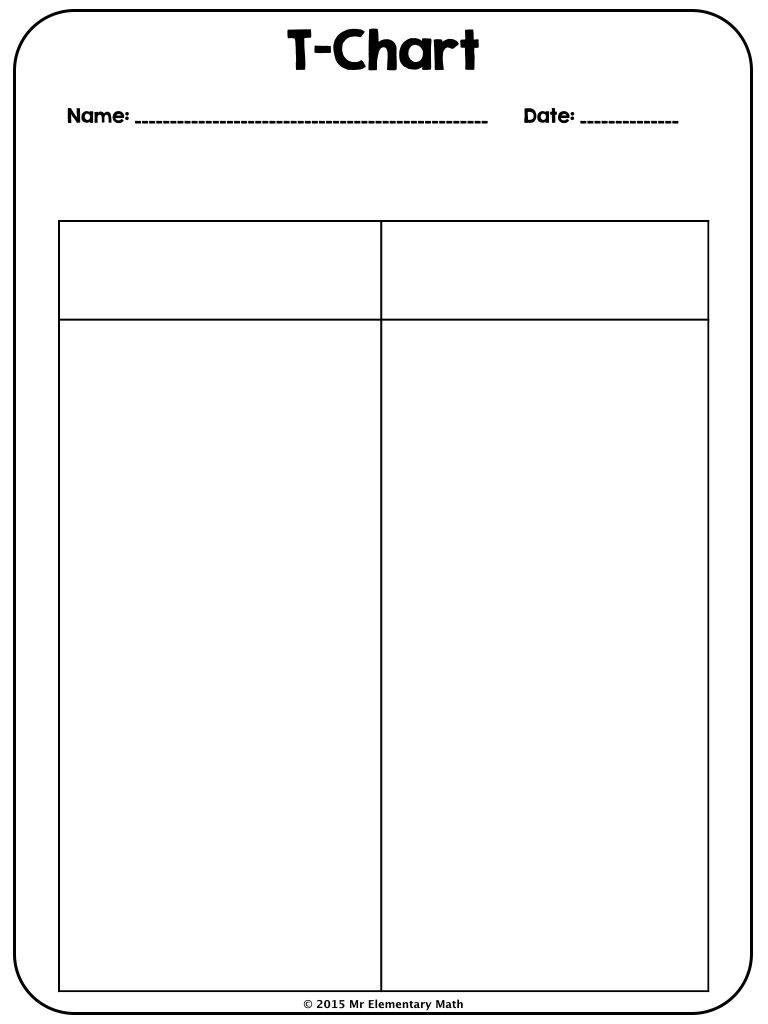
Click for an image of this T-Chart. Save image and use a text box to record thinking.